
Timely Topic: Physicist Explains Urban Heat Islands, Ways To Cool Down Effects
08.02.2023

The unrelenting heat wave that has gripped the U.S. and other parts of the world this summer has hit large cities especially hard, and the Dallas-Fort Worth region is no exception.
Metropolitan areas with a high percentage of impermeable surfaces, such as concrete, asphalt and roofs, become urban heat islands, said Dr. David Lary, professor of physics in the School of Natural Sciences and Mathematics at The University of Texas at Dallas.
“Urban heat islands are much warmer than adjacent rural areas that have trees and leafy vegetation to cool the surface through both shade and the release of water through their leaves,” Lary said.
Dallas has one of the most severe heat island effects in the U.S. On average, about 25% of the urban land area in the U.S. is covered in impermeable surfaces. Dallas has an average impermeable surface fraction of around 35%.
“The average temperature in downtown Dallas can be up to 12 degrees Fahrenheit warmer than in surrounding rural areas,” Lary said. “This means that during the summer, when temperatures can already be scorching, downtown Dallas can feel like a literal oven.”
On Aug. 5, the Dallas Office of Environmental Quality & Sustainability will map heat island areas in the city as part of a program conducted by the National Oceanic and Atmospheric Administration.
Urban heat islands not only make being outdoors uncomfortable, but they also can be associated with poor air quality. Elevated levels of ground-level ozone, smog and particulate matter can contribute to health conditions such as respiratory issues, heart disease and cancer.
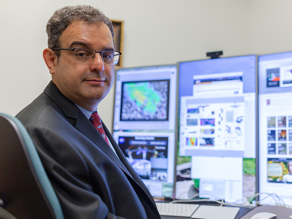 Dr. David Lary, professor of physics at UT Dallas.
Lary is director of the Multi-Scale Integrated Intelligent Interactive Sensing (MINTS) center in the Headquarters for the Richardson Innovation Quarter. His research focuses on using sensing technology in service to society on multiple scales, including satellites, robotic vehicles, stationary sensors and wearables, to gather environmental data. For example, his research team has placed several sensors in the DFW region that monitor air quality, pollution and particulate matter, with the aim of providing the public with real-time data on local conditions.
Lary said the North Texas heat wave is part of a heat dome, which is a persistent high-pressure system that traps hot air over a region.
“Heat domes are becoming more common as the planet warms,” he said. “Within this global context, local actions can be of great value.”
Lary suggested some positive steps communities can take to help mitigate the effects of urban heat islands:
- Plant native tree species and plants that are proven to cool urban areas. The nonprofit Texas Trees Foundation is working in Dallas to reduce the impact of heat by planting more trees.
- Improve public transportation and reduce the number of cars on the road, which can help improve air quality.
- Use lighter-colored construction materials, which reflect more sunlight.
Lary’s research group also is partnering with The Institute for Urban Policy Research at UT Dallas on a project to gather and combine environmental, health and demographic information in an online dashboard.
“This observatory is a live, synergistic unification of data, including real-time data on weather and air quality, societal factors such as emergency room admissions for the entire state, and a comprehensive description of demographic, socioeconomic and housing characteristics provided by the U.S. Census Bureau and community surveys,” Lary said. “Our aim is to transparently characterize societal and environmental concerns and support data-driven decisions and policymaking so that we can be good stewards of limited community resources.”
–Amanda Siegfried
Tags: Dr. David Lary, EPPS, NSM, Timely Topic